Automated Georeferencing of Archived Cadastral Plans
Original title (German): Maschinelles Georeferenzieren archivierter Katasterpläne
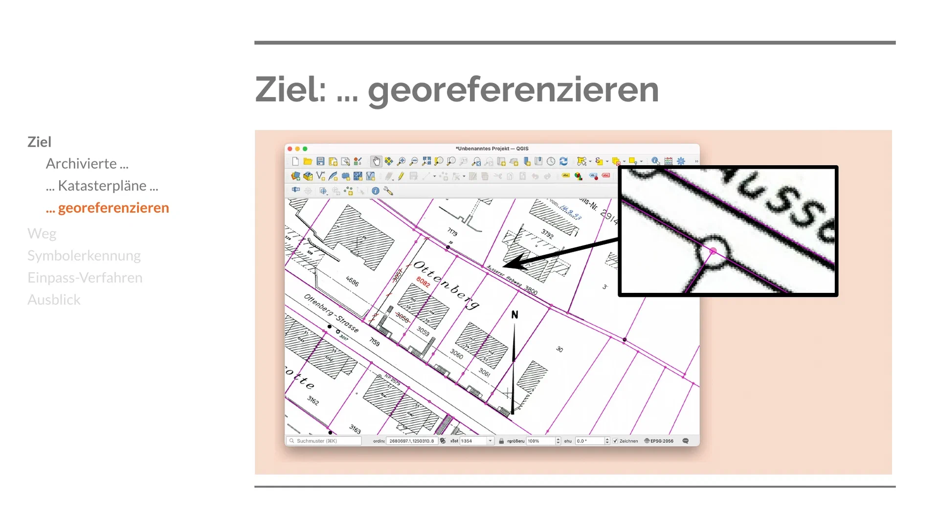
A pipeline for automatically georeferencing archived Swiss cadastral survey plans: OCR and page rasterization, map-symbol recognition, and a RANSAC-based fitting procedure that matches recognized survey-point symbols against known coordinates to estimate each plan’s affine transformation into real-world coordinates. Evaluated on a sample of 2,551 dossiers from the City of Zürich’s Geomatics and Surveying department, which plans to run the pipeline across its full archive — an estimated 80,000–100,000 dossiers, still being scanned from paper to PDF — once scanning is complete. The talk closes with an outlook toward applying the same method to other municipal plan archives.
An independent project, presented to the City of Zürich’s Geomatics and Surveying department. The talk was given in German.